
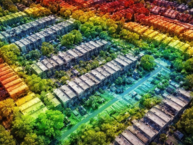
How LiDAR Mapping Is Changing Land Development
LiDAR mapping is reshaping how developers plan, measure, and build on land. If you work in development and you haven’t factored this technology into your workflow yet, you’re likely spending more time and money than you need to.
What Is LiDAR Mapping?
LiDAR stands for Light Detection and Ranging. It works by firing rapid pulses of laser light at the ground and measuring how long each pulse takes to bounce back. The result is a dense, three-dimensional point cloud that shows the exact shape of the land, including features that ground crews might miss entirely.
It’s fast. It’s accurate. And it covers ground that traditional surveying methods struggle with.
A drone equipped with LiDAR can scan dozens of acres in a single flight. That same coverage would take a ground crew days to complete on foot.
Why Developers Are Paying Attention
Developers deal with one constant problem: decisions made early in a project are the hardest to fix later. A grading plan built on bad elevation data leads to drainage failures. A site layout based on rough measurements leads to setback violations and permit rejections.
LiDAR cuts the guesswork out of those early decisions.
Here’s what the data actually gives you:
- Accurate elevation contours across the entire site
- Drainage flow paths before a single shovel hits the ground
- Tree canopy and vegetation data without clearing first
- Existing structure locations mapped to centimeter-level precision
- Identifiable utility features and surface infrastructure
Developers who use LiDAR in the planning phase consistently catch site problems before they become construction problems. That’s not a small thing when rework costs are involved.
How LiDAR Mapping Fits Into the Development Process

Before You Buy the Land
LiDAR data helps developers evaluate raw land before committing to a purchase. Elevation data reveals flood-prone low spots, steep grades that complicate construction, and drainage patterns that may conflict with the planned layout.
Buying a parcel without this information is a risk. Problems that show up after closing become your problems to solve.
Topographic Surveys and Site Planning
LiDAR produces the elevation data that engineers need to design grading plans, drainage systems, and building placements. It feeds directly into topographic surveys, and it does so faster than conventional field methods.
For large sites, the time savings are significant. A project that would require weeks of ground survey work can move to the planning phase in days.
Flood Risk and Elevation Analysis
In low-lying coastal areas, elevation data is not a nice-to-have. It’s required. LiDAR produces the precise elevation models that surveyors and engineers use for flood zone analysis, elevation survey report, and FEMA compliance work.
If your site is near water or sits in a flood-prone area, LiDAR mapping gives you a clear picture of the risk before you design anything.
Construction Layout and Site Monitoring
LiDAR isn’t only useful before construction starts. It can be used throughout a project to monitor grading progress, verify cut and fill volumes, and confirm that site work matches the approved plans. Some developers use repeat drone flights to track progress across multiple phases.
LiDAR vs. Traditional Ground Surveying
Traditional ground surveying is still the right tool for many jobs. Boundary surveys, legal plat preparation, and monument placement all require licensed surveyors working on the ground. LiDAR doesn’t replace that work.
What LiDAR does is collect elevation and surface data faster and at a larger scale than ground crews can manage. The two methods work together. Ground control points set by a licensed surveyor are used to calibrate and verify the LiDAR data. The result is a dataset that combines the speed of aerial collection with the accuracy of professional survey control.
For development projects involving large parcels, complex terrain, or tight timelines, that combination matters.
What to Know Before You Order a LiDAR Survey
Not every LiDAR product is the same. Before you order, clarify the following with your surveyor:
Point density. Higher density means more detail. For development work, you generally want a minimum of 8 to 10 points per square meter. Projects with dense vegetation may need higher density to capture ground returns through the canopy.
Ground control. Ask how many ground control points will be set and how accuracy will be verified. A LiDAR dataset without proper ground control is less reliable for engineering use.
Deliverables. Know what file formats you’ll receive. Engineers typically need DTM surfaces, contour files, and classified point clouds in formats compatible with their design software.
Accuracy specifications. For most development and engineering applications, vertical accuracy in the range of 5 to 10 centimeters is the standard. Confirm this before the flight.
Licensing. The survey work associated with LiDAR projects must be performed or supervised by a licensed professional land surveyor. Verify credentials before signing any contract.
Frequently Asked Questions
What is LiDAR mapping used for in land development?
LiDAR mapping is used to collect detailed elevation data, surface models, and site features across large areas. Developers use it for site evaluation, topographic survey production, flood risk analysis, grading design, and construction monitoring.
How accurate is drone LiDAR for development projects?
Drone LiDAR surveys typically achieve vertical accuracy between 5 and 10 centimeters when proper ground control is used. That level of accuracy is sufficient for most engineering and site planning applications.
Does LiDAR mapping replace a traditional land survey?
No. LiDAR collects surface and elevation data efficiently across large areas, but it does not replace boundary surveys, legal plat preparation, or monument placement. A licensed land surveyor is still required for those tasks and for supervising the ground control work that makes LiDAR data reliable.
How long does a LiDAR survey take?
Flight time depends on site size and conditions. A typical development parcel of 10 to 50 acres can be flown in a few hours. Processing and delivering final deliverables usually takes several business days after the flight.
When in the development process should LiDAR be ordered?
Order it as early as possible. LiDAR data is most useful during site evaluation and early design. Getting accurate elevation and surface data before finalizing a site plan prevents costly revisions later in the project.