
Survey Mapping Problems That Can Delay a Site Plan Approval
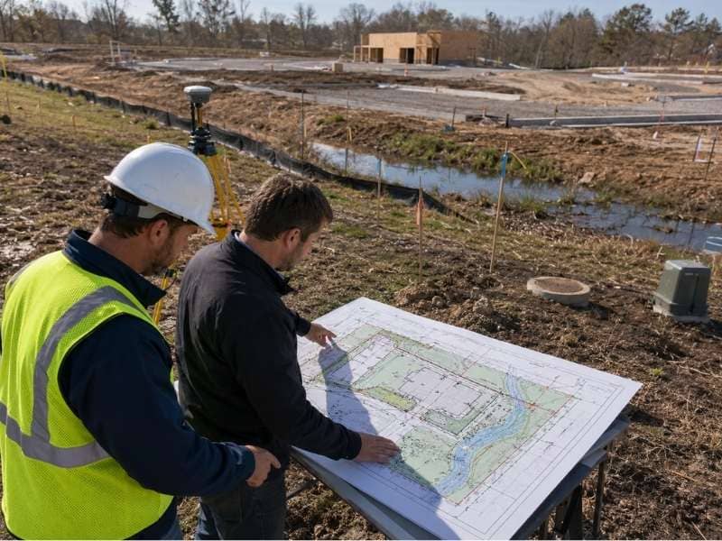
Survey mapping plays a critical role in getting a site plan approved. One common cause of delays is problems with the survey map itself. If property lines don’t match records, flood zones are missing, or easements aren’t shown, the city planning department sends the plan back for corrections. Catching these issues before submission prevents weeks of back-and-forth and keeps your project on schedule.
Property Lines That Do Not Match
A site plan starts with accurate property lines. The surveyor measures the boundaries and marks them on the map. But these lines must also match what’s recorded in deeds, plats, and county records. If they don’t match, the planning department questions the accuracy of the entire site plan.
Sometimes property lines look different in different records. An old deed describes the property one way. The county plat shows it differently. The tax map uses yet another description. A surveyor must resolve these conflicts before the site plan is finalized. The resolution takes time, and if it’s discovered during review, it sends the plan back to the drawing board.
Before submitting a site plan, double-check that the survey map matches recorded property descriptions. If there are conflicts, resolve them first. A surveyor can research the deeds and plats to confirm which description is correct. This extra step upfront prevents rejection and delays later.
Missing Flood Zone Details
Many properties sit in flood zones or flood-prone areas. Planning departments review flood zone information carefully. If a site plan doesn’t show flood zone boundaries or elevation data, it gets rejected. The applicant must get an elevation certificate and add flood zone details to the map.
Flood zone boundaries determine which building regulations apply. Buildings below the base flood elevation face requirements for protection or elevation. Utilities and site features may need to avoid flood zones. Planning reviewers need this information to approve the plan.
If your property is near water or in a mapped flood zone, include flood zone details on the site plan before submission. Get an elevation certificate if required. Mark the base flood elevation on the map. Show which areas are in the hazard zone. This prevents rejection and keeps your timeline on track.
Setbacks Shown the Wrong Way
Setbacks define how far buildings, parking, and other structures must be from property lines, roads, or water features. Each jurisdiction has different setback rules. Buildings must stay back from the property line. Parking areas must be set back from roads. Structures near water need bigger setbacks.
When setbacks are wrong on a site plan, the building footprint or parking layout violates code. The planning department sends the plan back. The designer must adjust building positions and parking placement to meet setback requirements. This redesign takes weeks.
Before submitting a site plan, confirm all setback requirements with the jurisdiction. Check your local zoning code for building setbacks, parking setbacks, and setbacks from special features like water bodies or historic districts. Then verify that every structure on the survey map respects these setbacks. A quick review upfront prevents costly redesigns.
Easements or Utilities Left Off the Map
Easements give other parties rights to use portions of your property. Utility companies need easements for power lines and water mains. Drainage systems need easements to cross multiple properties. These easements must be shown on the site plan.
If easements aren’t on the map, the planning department assumes the area is available for development. Designers might place buildings or parking in easement areas. When the error is caught, the site plan must be redrawn. Buildings that conflict with easements require relocation.
Before finalizing a survey map, research all recorded easements on the property. Check with the county for utility easements. Review the deed for access or drainage easements. Mark them clearly on the map. Show which utilities use which easements. This prevents redesigns based on easement conflicts.
Drainage easements are especially important. Swales, storm drains, and retention areas often need easements across neighboring properties. If these aren’t shown, the site plan’s drainage design may be impossible to build. Catching this early saves money and time.
GIS Maps That Do Not Match the Survey
County GIS systems are helpful for planning and visualization. But GIS maps aren’t always perfectly accurate. A county GIS map might show a property boundary slightly different from a measured survey. Utilities might be shown in approximate locations rather than precise ones.
When site plans are based on GIS maps without verification by a professional survey, problems emerge. The actual boundaries might differ from what GIS showed. Utility locations might not be where the map indicated. Reviewers question the accuracy of the entire plan.
The solution is clear: use a professional survey as the base for your site plan, not a GIS map. A surveyor measures property lines and utilities with precision. They locate exact positions. They verify boundaries against deeds and recorded plats. A site plan built on survey data is far more likely to be accurate and get approved without challenges.
If you must use a GIS map as a starting point, have a surveyor verify key elements before finalizing the plan. Check property lines against deeds. Verify utility locations. Confirm easements. This verification takes time but prevents bigger delays during review.
Frequently Asked Questions
What is survey mapping?
Survey mapping is the process of drawing a property’s boundaries, features, and characteristics on a map based on field measurements. It shows property lines, structures, utilities, easements, flood zones, and other important details needed for planning and construction.
How can survey mapping delay site plan approval?
Survey mapping problems cause delays when property lines don’t match records, flood zones are missing, setbacks are wrong, easements or utilities aren’t shown, or the map doesn’t align with other official records. Each error requires corrections before approval.
Why can GIS maps and survey maps be different?
GIS maps are often used for general reference and visualization. They show approximate locations and boundaries. Survey maps are based on precise field measurements and formal records. A surveyor verifies boundaries against deeds and recorded plats, making survey maps more accurate than GIS approximations.