
Who Fills Out an Elevation Certificate and How It Works
A lot of property owners get asked for an elevation certificate and have no idea what it is, who prepares it or why it exists. That confusion costs money. The wrong person filling it out, or skipping it entirely, leads to higher flood insurance premiums, failed permit applications and lender rejections at closing.
This article explains exactly who is legally allowed to prepare an elevation certificate, what the process looks like and what the finished document actually does.
What an Elevation Certificate Is
An elevation certificate is an official FEMA form. It documents the elevation of a building relative to the Base Flood Elevation (BFE) for that property. The BFE is the height floodwater is expected to reach during a major flood event in that area.
The certificate records specific elevation measurements for the building, the lowest floor, the garage and any attached machinery. It also identifies the flood zone the property sits in and provides data that insurance companies use to calculate flood insurance premiums.
Without accurate elevation data, insurers have to make assumptions. Those assumptions almost always result in higher premiums.
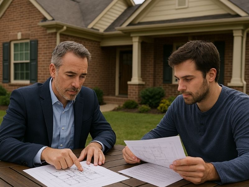
Who Can Legally Fill Out an Elevation Certificate
Only three types of professionals are authorized to complete and certify an elevation certificate:
- A licensed land surveyor
- A licensed engineer
- A licensed architect
All three must be licensed in the state where the property is located. The professional who signs the certificate takes legal responsibility for the accuracy of the measurements recorded on it.
In practice, licensed land surveyors handle the vast majority of elevation certificates. That’s because the work requires precise field measurements and knowledge of local flood map data, which falls squarely within a surveyor’s scope of work. Engineers and architects can certify them for projects they’re directly involved in, but they rarely do so for standalone certificate requests.
A property owner cannot fill out their own elevation certificate. A contractor cannot fill one out either. If someone other than a licensed professional signs it, it’s not valid and won’t be accepted by an insurance company, a lender or a permit office.
How the Process Works
Step 1: Hire a Licensed Land Surveyor
The first step is finding a licensed surveyor in your area who has experience with flood zone properties and elevation certificates. Confirm their license is active in your state before hiring.
Provide the surveyor with your property address, the legal description and any prior flood-related documents you have. If your property has been through a FEMA map amendment process before, share those records too.
Step 2: The Surveyor Visits the Site
The surveyor visits the property and takes precise elevation measurements. They measure the elevation of the lowest floor of the structure, including the basement if one exists. They also measure the bottom of the lowest horizontal structural member for certain building types, the ground elevation around the building and the elevation of any attached garage or machinery that could be affected by flooding.
The measurements are taken using survey-grade equipment and referenced to a vertical datum, which is a standardized system for measuring elevation above sea level. FEMA currently requires all elevation certificates to use the NAVD 88 datum.
Step 3: The Surveyor Completes the FEMA Form
After field work, the surveyor fills out the official FEMA Elevation Certificate form. The form has several sections covering building information, flood zone data and the elevation measurements collected on site.
The surveyor also attaches a diagram showing which building type applies to the property. FEMA uses different measurement points depending on the structure, so getting the building diagram right affects every elevation value on the form.
Step 4: The Certificate Gets Signed and Sealed
The surveyor signs the certificate and applies their professional seal. That seal makes it official. An unsigned or unsealed certificate is not valid and will be rejected.
The finished certificate is typically delivered as a PDF. Keep the original. You may need it for insurance renewals, property sales, permit applications and any future FEMA map amendment requests.
What Happens After the Certificate Is Issued

Insurance Rating
The elevation certificate goes to your flood insurance provider. The insurer compares your building’s lowest floor elevation to the BFE for your flood zone. If your building sits above the BFE, your premium goes down. If it sits below, the premium goes up.
The difference in premium between a building one foot below the BFE and one foot above it can be several thousand dollars per year. That’s why getting accurate measurements matters. A certificate based on bad data produces a rating that doesn’t reflect the actual risk.
Lender Requirements
Many lenders require an elevation certificate before approving a mortgage on a property in a designated flood zone. They use it to confirm flood insurance is in place and correctly rated.
If your lender asks for one and you don’t have it, the loan doesn’t close until you get it. That’s a timeline problem in most transactions.
Permit Applications
Some local permit offices require an elevation certificate as part of the application for new construction or substantial improvements in flood zones. The certificate confirms the building is being placed at the correct elevation relative to the BFE before permits are issued.
Common Mistakes That Cause Problems
Using an Outdated Certificate
FEMA updates flood maps periodically. If a map revision has changed your property’s flood zone since the certificate was issued, the old certificate may no longer reflect current conditions. An insurer or lender may require a new one.
Wrong Building Diagram Selection
The FEMA form includes diagrams for different building types. Selecting the wrong one changes which elevation point gets measured and reported. An error here affects the entire certificate and can lead to incorrect insurance ratings.
Hiring Someone Without the Right License
This happens more than it should. A contractor or inspector offers to “handle” the elevation certificate as part of a larger job. Unless they hold an active professional land surveyor, engineer or architect license in your state, they can’t legally certify it. Any certificate they produce won’t be accepted.
Frequently Asked Questions
Who is authorized to complete an elevation certificate?
Only a licensed land surveyor, licensed engineer or licensed architect can complete and certify an elevation certificate. The professional must hold an active license in the state where the property is located. Property owners and contractors are not authorized to complete one.
How long does it take to get an elevation certificate?
Most elevation certificates take five to ten business days from the site visit to delivery of the finished document. Turnaround time depends on the surveyor’s current workload and how complex the property is. Rush services may be available for an additional fee.
Do elevation certificates expire?
FEMA elevation certificates don’t have a set expiration date, but they can become outdated. If FEMA revises the flood map for your area, your certificate may no longer reflect the current flood zone classification. Lenders and insurers may require an updated certificate if the map has changed since yours was issued.
Can one elevation certificate be used for multiple purposes?
Yes. A single certificate can be used for flood insurance rating, lender requirements and permit applications at the same time. Keep copies and share them with each party that needs one. You don’t need a separate certificate for each use.
What if the elevation certificate shows my building is below the Base Flood Elevation?
It means your flood insurance premium will be higher than if the building were above the BFE. In some cases, it may also affect financing and resale. Options include applying for a FEMA Letter of Map Amendment if you believe the flood zone designation is incorrect, or making physical improvements to the property such as elevating the structure to bring it above the BFE.