
Using LiDAR Mapping to Record Terrain After a Building Is Demolished
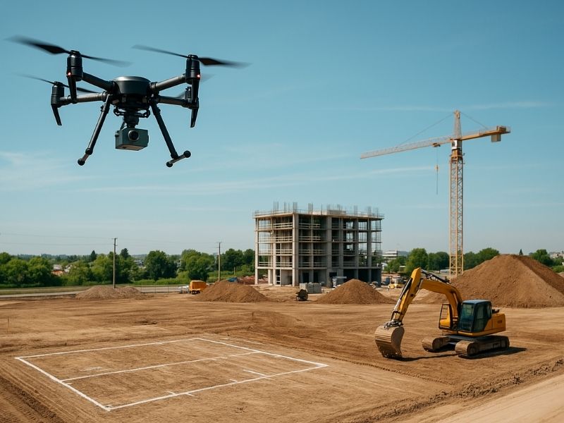
A demolished building leaves behind more than an empty lot. The ground underneath has been shaped, filled, and disturbed for years. What looks like a clean slate often hides old foundations, uneven fill, and changed drainage. Skip the documentation, and those surprises show up later as costly redesigns.
LiDAR mapping gives you an accurate record of the ground right after demolition. It captures the true shape of the site before any new work begins. For developers and engineers in Fort Myers, that early record guides smarter grading, drainage, and redevelopment choices. Getting the data now protects the budget on the next build.
Why Post-Demolition Terrain Documentation Matters Before Future Development
Once a structure comes down, the site rarely matches old plans. Demolition moves earth, breaks up slabs, and leaves debris and fill behind. The ground you see is not the ground the original building sat on. A fresh terrain record shows what you are actually working with.
This matters most before redevelopment. New designs depend on accurate ground data for grading, foundations, and drainage. Building on assumptions from outdated maps invites errors. An accurate post-demolition survey helps your team plan around real conditions instead of guesses.
Fort Myers adds its own reasons to document the ground. Many sites here sit low and flat, where small elevation changes affect how water drains. Older properties may have fill or grading no one recorded. Capturing the terrain after demolition gives you a reliable starting point for whatever comes next.
How LiDAR Mapping Captures Ground Conditions After Structure Removal
LiDAR stands for light detection and ranging. It sends out laser pulses, often from a drone or aircraft, to measure the exact height of the ground. Those pulses create millions of points that form a detailed map of the site. The result shows every slope, dip, and rise across the cleared lot.
For a demolished site, this detail is a real advantage. Crews can cover the whole property quickly, even areas that are rough or hard to walk. LiDAR records the surface as it sits after cleanup, capturing ruts, mounds, and leftover grading. That gives a full picture without missing corners.
LiDAR also handles messy sites well. Cleared lots often have brush, debris piles, and uneven fill. LiDAR can filter much of that surface clutter to reveal the true ground below. This helps engineers see the actual terrain, not just the debris on top. The data becomes a clean base map for planning the redevelopment.
Identifying Changes in Elevation, Grading, and Drainage After Demolition
Demolition changes the land in ways that are easy to miss by eye. Removing a foundation can leave a low spot. Bringing in fill can create a mound. LiDAR mapping shows these changes clearly through detailed elevation data.
The survey highlights several things worth checking after a building comes down:
- Elevation changes where slabs, footings, or basements were removed
- New low spots that could collect and hold water
- Fill areas that may settle or need compaction before building
- Altered drainage paths that no longer match the original site
Drainage deserves close attention on flat Fort Myers sites. When a building and its pavement are removed, water finds new paths across the open ground. LiDAR reveals where water will pool and where it will flow. Spotting those patterns early lets engineers plan grading and drainage that work with the changed site. Fixing drainage in design is far cheaper than fixing it after construction.
Using LiDAR Data to Support Site Redevelopment and Design Decisions
Accurate terrain data makes redevelopment planning much easier. Engineers can design grading plans based on the real surface. That means better cut-and-fill estimates and fewer surprises during construction. On a tight budget, that accuracy saves real money.
LiDAR data supports many early decisions. Designers can place new buildings where the ground works best. They can route access roads and utilities around low or unstable areas. They can size drainage systems to match how water actually moves. Each choice rests on solid ground information instead of old assumptions.
The data also helps with approvals and coordination. Site plans, grading permits, and drainage reviews often need accurate elevation information. Requirements can vary by county, project type, and permit scope, so confirm what your site needs early. Having reliable LiDAR data ready helps the review process move without delays. It also gives lenders and partners confidence in the plan.
The Role of Accurate Terrain Records in Preparing a Former Building Site for Construction
A former building site needs a clear record before new construction starts. That record is the baseline everyone works from. Contractors use it to plan earthwork. Engineers use it to finalize grading and drainage. Without it, teams work blind on ground they do not fully understand.
Accurate terrain records also protect against later disputes. If questions come up about fill, grading, or elevation, the survey shows the site’s true condition after demolition. That documentation supports inspections, closeouts, and future reference. It becomes part of the property’s record for years to come.
Timing is the key. The best moment to capture the ground is right after demolition and cleanup, before new work begins. That data feeds directly into design and construction planning. Confirm your survey needs early, especially when permitting or construction timing depends on them. A solid terrain record at this stage sets up the whole project to run smoother.
Frequently Asked Questions
What is LiDAR mapping and how does it work on a demolished site?
LiDAR mapping uses laser pulses to measure the exact height of the ground. On a demolished site, it records the surface as it sits after cleanup. The pulses create millions of points that form a detailed terrain map. That map shows slopes, low spots, and drainage paths across the cleared lot.
Why should I document terrain after a building is demolished?
Demolition changes the ground by removing foundations and adding fill. The site rarely matches old plans once the structure is gone. Documenting the terrain gives you an accurate starting point for redevelopment. That helps your team plan grading, drainage, and foundations around real conditions.
Can LiDAR mapping detect drainage changes after demolition?
Yes, LiDAR is very useful for spotting drainage changes. When a building and pavement are removed, water finds new paths across the open ground. The elevation data reveals where water will pool and flow. Catching those patterns early helps engineers design grading that works with the changed site.